
- Planet Earth
- Rivers & Oceans
A 2016 astronaut photo of the Bahamas shows a series of luminous, rippling sandbanks partly carved out by a coral reef. The image also reveals subtle differences in the ocean's surface caused by a steep, hidden ocean drop-off.
When you purchase through links on our site, we may earn an affiliate commission. Here’s how it works.
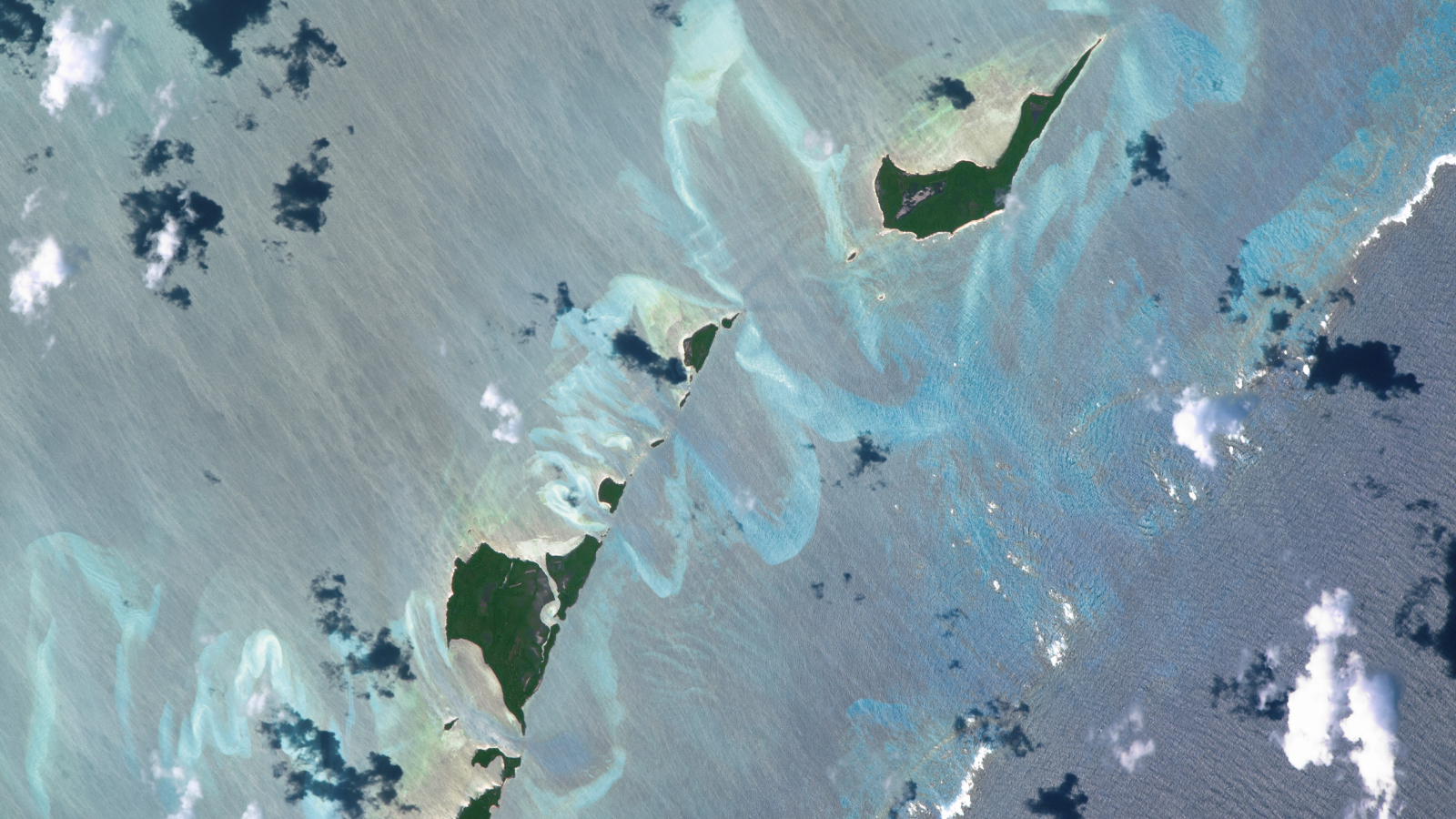 An astronaut was able to perfectly capture the swirling, "fluorescent" sand banks that twist and turn around a series of cays in the Bahamas. The sandy swirls were partly sculpted by a coral reef that bisects the bottom right corner of the image.
(Image credit: NASA/ISS program)
Share
Share by:
An astronaut was able to perfectly capture the swirling, "fluorescent" sand banks that twist and turn around a series of cays in the Bahamas. The sandy swirls were partly sculpted by a coral reef that bisects the bottom right corner of the image.
(Image credit: NASA/ISS program)
Share
Share by:
- Copy link
- X
Where is it? Carter's Cays and Strangers Cay, the Bahamas [27.105580266, -78.06669135]
What's in the photo? Underwater sandbanks and a coral reef surrounding a pair of small islands
Who took the photo? An unnamed astronaut on the International Space Station (ISS)
When was it taken? Oct. 20, 2016
This intriguing astronaut photo shows off a series of rippling sandbanks surrounding a pair of small islands in the Bahamas. The submerged swirls were partly carved out by a coral reef lurking on the edge of a hidden ocean "drop-off."
This photo shows a series of intricate sandbanks and a shallow barrier-like coral reef in the waters surrounding two diminutive islands — Carter's Cays (lower left) and Strangers Cay (upper right). The islands are two of the northernmost landmasses in the Bahamas, located around 125 miles (200 kilometers) east of Florida. (For context, Strangers Cay is around 2.2 miles (3.6 km) across at its widest point.)
You may like-
 Pair of 'holy' islands in eerily green African lake hold centuries-old relics and mummified emperors
-
 Trio of 'black mesas' leftover from Paleozoic era spawn rare sand dunes in the Sahara
-
 Deep snow blanket transforms Yellowstone Lake into a giant white void
The sand banks, which can be seen winding in and around the two cays like ribbons, have been sculpted by decades of unchanged ocean currents, causing sand to pile up in the same place over time.
But the coral reef — which cuts across the bottom right corner of the image and has waves breaking across its far edge — is much older, having likely built up over several millennia.
The largest and most prominent sandbank, which looks like a giant U-shape in the center of the image, lies directly opposite a large gap in the coral reef. This is no coincidence: The break in the reef has created a strong and sustained tidal flow that has pushed the sand much further backward, according to the Earth Observatory.
These sand swirls are fairly small compared with some of the larger sandbanks in the region. The biggest is the Great Bahama Bank, which covers an area of around 80,000 square miles (210,000 square kilometers) off the Exuma Islands in the central Bahamas and supports a massive seagrass ecosystem.
Sign up for the Live Science daily newsletter nowContact me with news and offers from other Future brandsReceive email from us on behalf of our trusted partners or sponsorsBy submitting your information you agree to the Terms & Conditions and Privacy Policy and are aged 16 or over.These features frequently draw comparisons to abstract paintings or the Northern Lights, due to their shape and captivating glow, when viewed from above. However, their supposed luminosity is actually just an optical illusion caused by their proximity to the ocean's surface. In some areas, the sand is likely only around 6.5 feet (2 meters) below the waves, according to the Earth Observatory.
If you look closely at the ocean's surface in the image, you will also notice that the water to the upper left of the islands is very light and covered with shimmering streaks, while the bottom right corner of the image — beyond the reef — is darker and exhibits traditional wave patterns.
MORE EARTH FROM SPACE—The whale-shaped island in Belize with a 'great blue blowhole'
—Perfect trio of prehistoric atolls shine like tropical gems off Australian coast
—'Ghost island' appears after underwater eruption, then vanishes into the Caspian Sea
This is the result of a steep drop-off in the deep ocean just beyond the coral reef, similar to the one depicted in the film "Finding Nemo." Beyond this point, ocean currents create the swells that many people see from the window of an airplane. But behind the reef, the wind sculpts the ocean's surface into subtle streaks instead.
This drop-off is also why there are no sandbanks visible beyond the reef.
For more incredible satellite photos and astronaut images, check out our Earth from space archives.
TOPICS Earth from space Harry BakerSocial Links NavigationSenior Staff Writer
Harry is a U.K.-based senior staff writer at Live Science. He studied marine biology at the University of Exeter before training to become a journalist. He covers a wide range of topics including space exploration, planetary science, space weather, climate change, animal behavior and paleontology. His recent work on the solar maximum won "best space submission" at the 2024 Aerospace Media Awards and was shortlisted in the "top scoop" category at the NCTJ Awards for Excellence in 2023. He also writes Live Science's weekly Earth from space series.
Show More CommentsYou must confirm your public display name before commenting
Please logout and then login again, you will then be prompted to enter your display name.
Logout Read more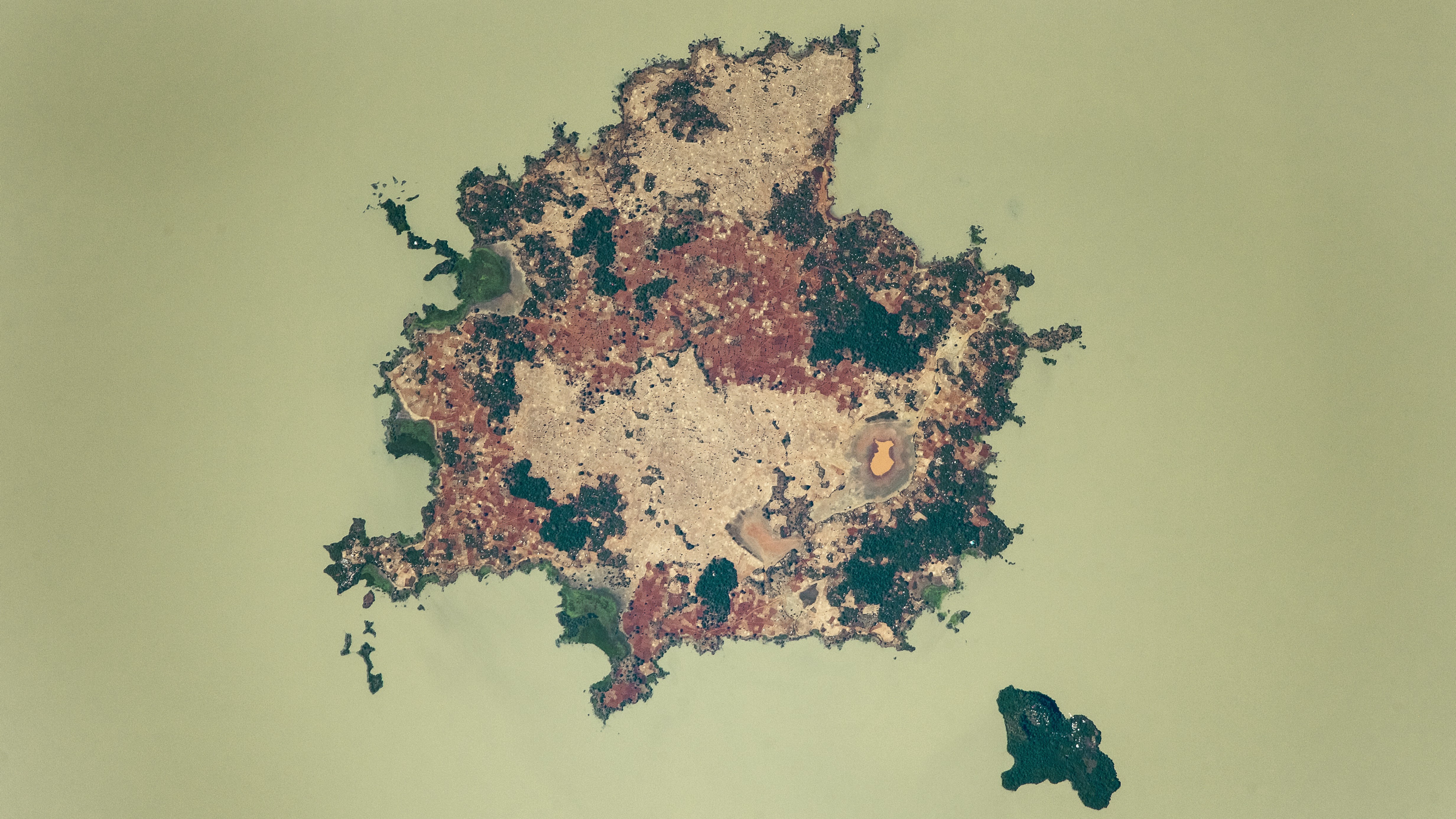 Pair of 'holy' islands in eerily green African lake hold centuries-old relics and mummified emperors
 Trio of 'black mesas' leftover from Paleozoic era spawn rare sand dunes in the Sahara
 Deep snow blanket transforms Yellowstone Lake into a giant white void
 Glowering 'skull' stares upward from a giant volcanic pit in the Sahara
 Giant structure discovered deep beneath Bermuda is unlike anything else on Earth
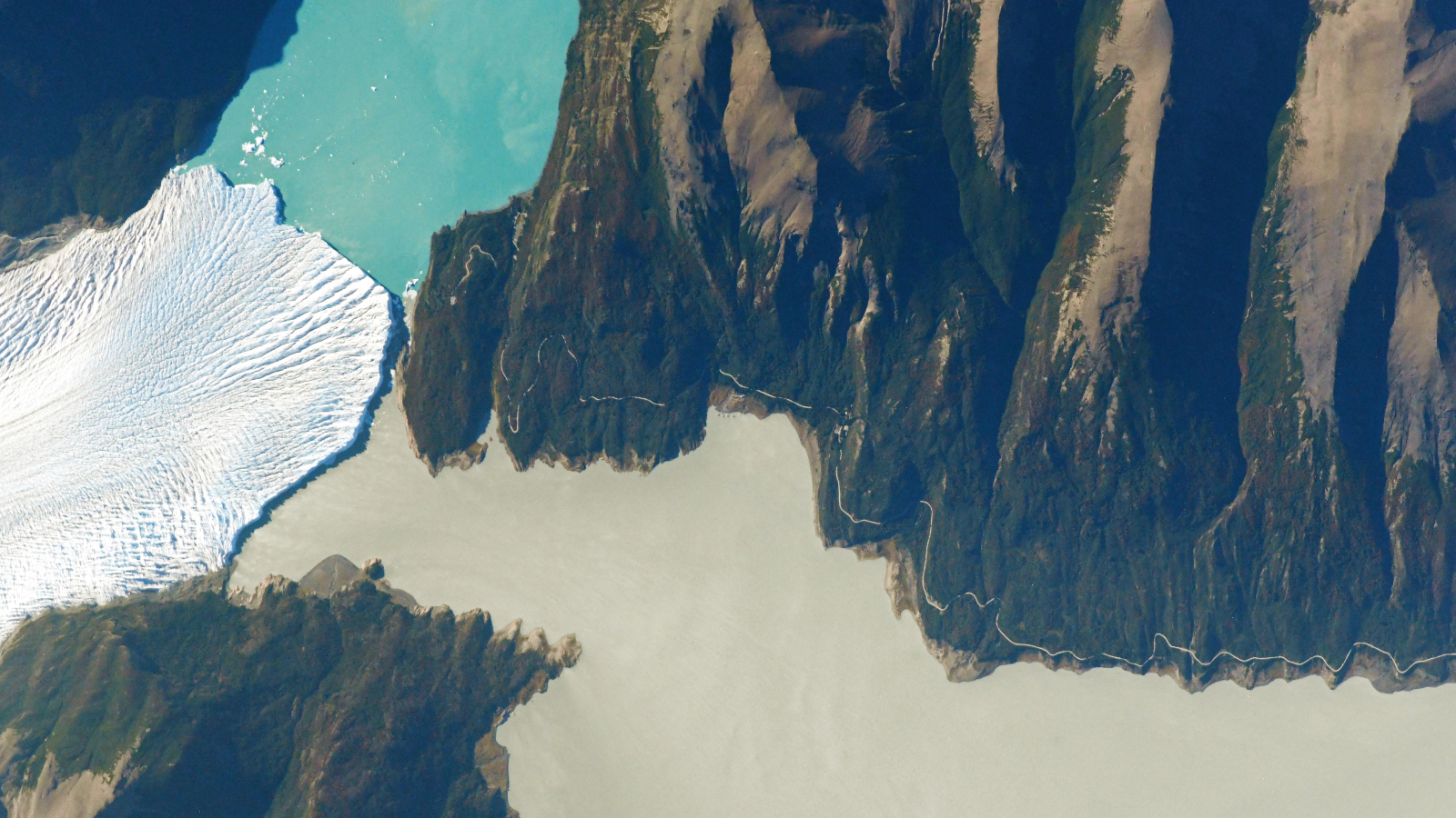 See the exact point where a glacier, a lake and a river 'touch' in Argentina
Latest in Rivers & Oceans
See the exact point where a glacier, a lake and a river 'touch' in Argentina
See the exact point where a glacier, a lake and a river 'touch' in Argentina
Latest in Rivers & Oceans
See the exact point where a glacier, a lake and a river 'touch' in Argentina
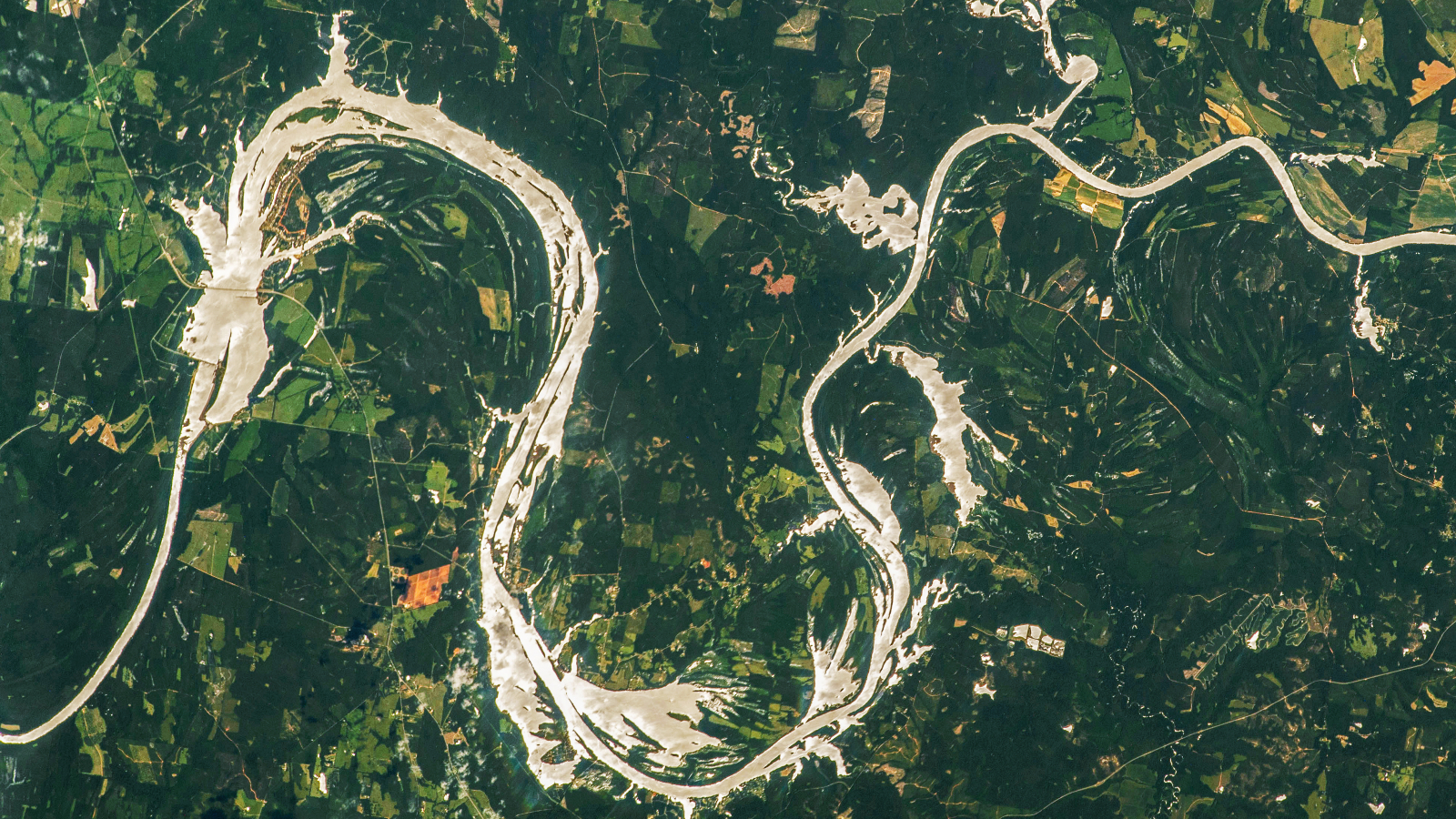 Rare 'sunglint' transforms Alabama River into a giant 'golden dragon'
 Collapse of key Atlantic current could bring extreme drought to Europe for hundreds of years, study finds
 Antarctica's Southern Ocean might be gearing up for a thermal 'burp' that could last a century
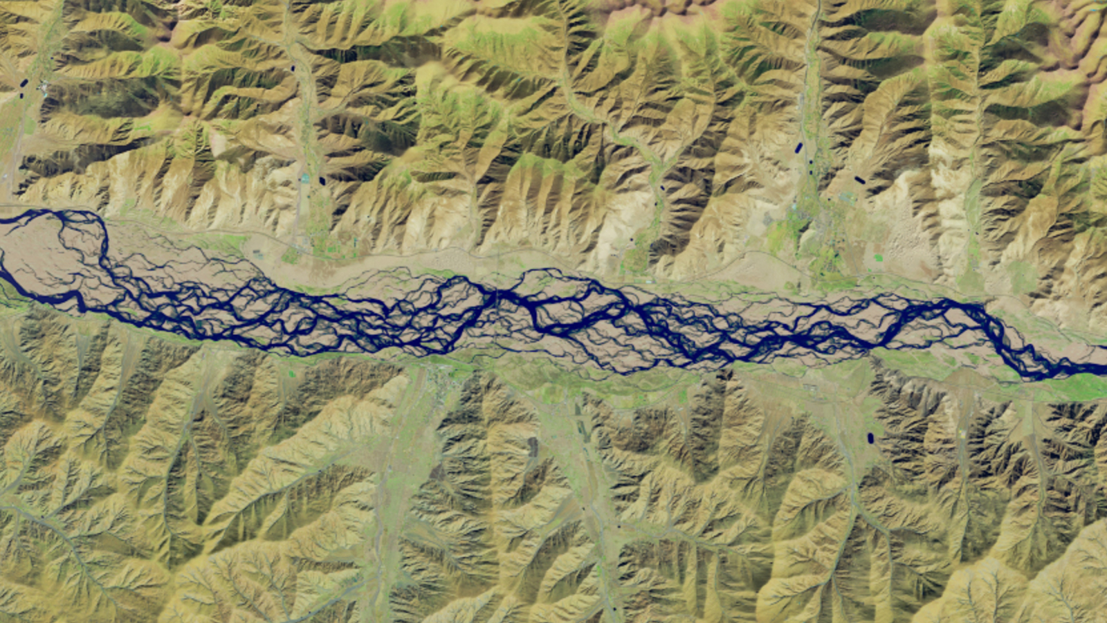 Shapeshifting 'braided river' in Tibet is the highest in the world, and is becoming increasingly unstable
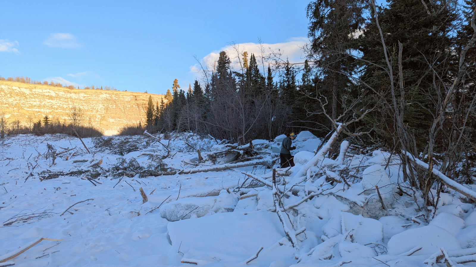 An 'ice tsunami' in 2024 ripped through the Yukon with such force it tore up trees and the riverbed
Latest in Features
An 'ice tsunami' in 2024 ripped through the Yukon with such force it tore up trees and the riverbed
Latest in Features
 How common is it to have extra bones in your skeleton?
 50 mind-blowing science facts about our incredible world
 Science history: Richard Feynman gives a fun little lecture — and dreams up an entirely new field of physics — Dec. 29, 1959
 The Alfred Jewel: A 1,100-year-old treasure from England's first king that proclaims 'Alfred ordered me to be made'
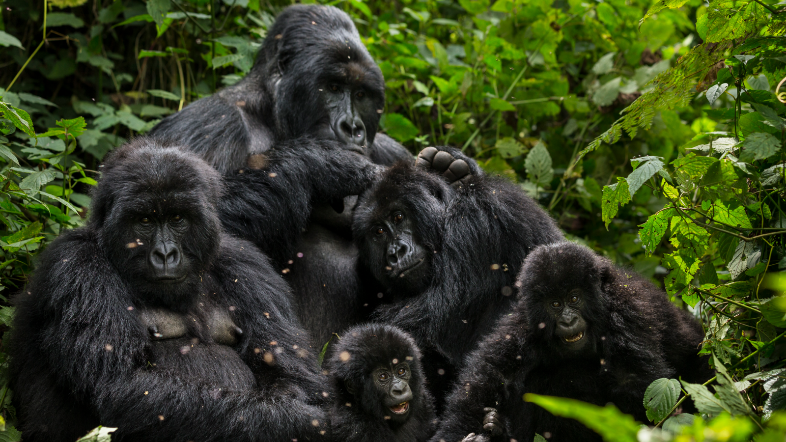 Science history: Dian Fossey found murdered, after decades protecting gorillas that she loved — Dec. 27, 1985
 Science history: Marie Curie discovers a strange radioactive substance that would eventually kill her — Dec. 26, 1898
LATEST ARTICLES
Science history: Marie Curie discovers a strange radioactive substance that would eventually kill her — Dec. 26, 1898
LATEST ARTICLES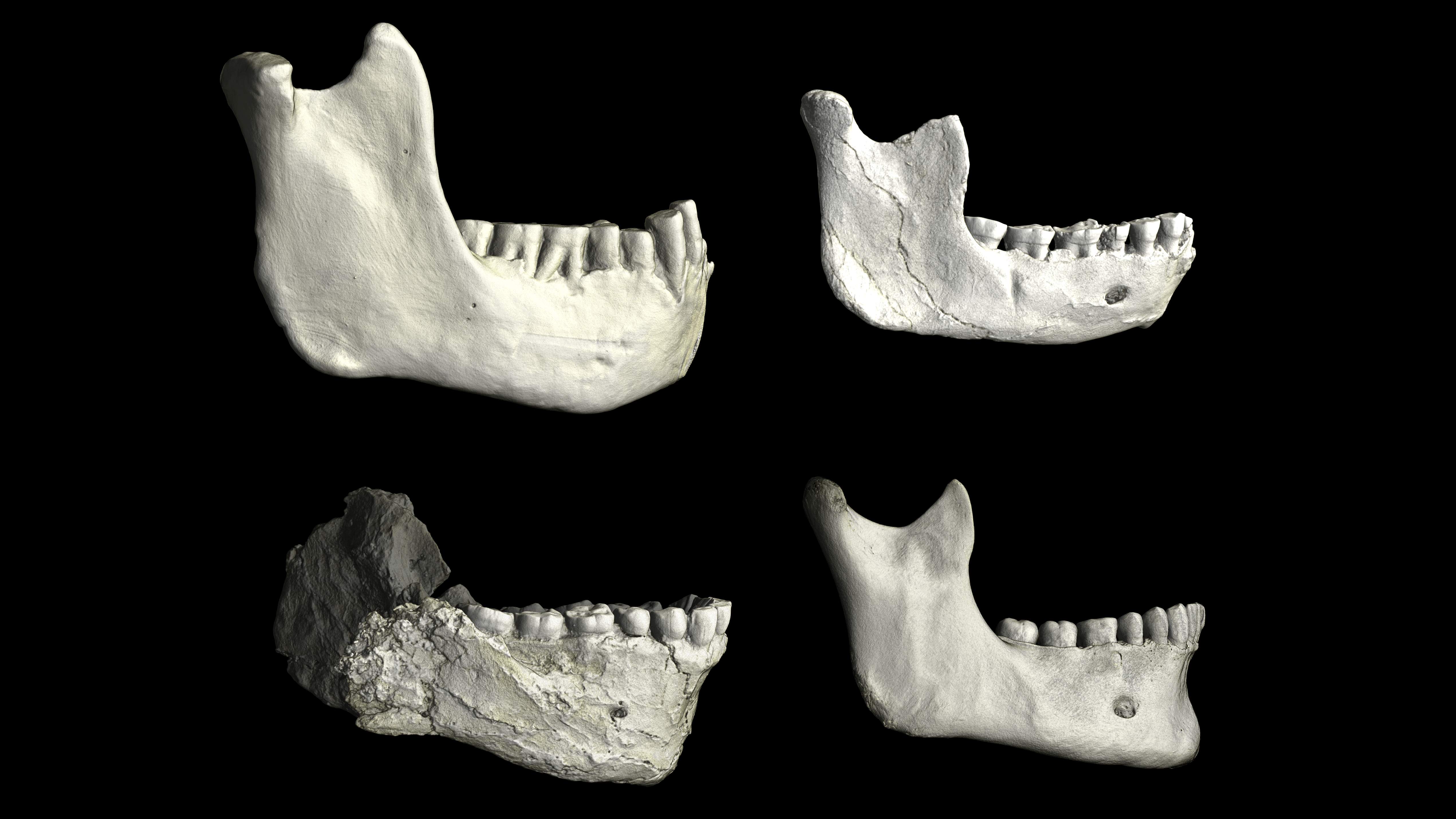 1Last common ancestor of modern humans and Neanderthals possibly found in Casablanca, Morocco
- 2'Mitochondrial transfer' into nerves could relieve chronic pain, early study hints
- 3Giant 'stone' in a man's bladder looked like an ostrich egg
- 4'How can all of this be happening?': Scientists spot massive group of ancient galaxies so hot they shouldn't exist
- 5Advanced alien civilizations could be communicating 'like fireflies' in plain sight, researchers suggest